
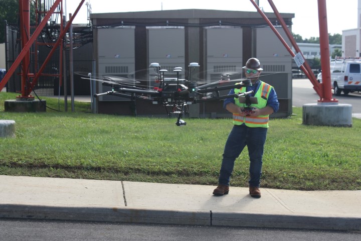

Drone Services
By leveraging state-of-the-art technology in aerial mapping services, Backhaul Engineering prepares reports that allow tower owners the ability to review all
- Site data;
- Antenna type, location, and position; and
- Unoccupied real estate for future microwave applications.
A comprehensive evaluation of your communications tower and/or microwave path between towers requires a holistic approach that incorporates design and field instrumentation tools. Backhaul’s full suite of services will not only provide you with visibility to the existing equipment and its specific location on each tower but will give you the definitive information required to maximize the revenue potential of unoccupied tower real estate.
Tower Mapping Survey Report
Combined use of geo-referenced positioning data and high-resolution video footage; detailed report of all tower-mounted assets.
Structural Analysis Report
The report considers the existing, proposed, and reserved load for the tower structure. The resulting Capacity Rating is reflected as a percentage of its original load capacity and presented for both Structure and Foundation position, and the condition of your visible equipment mounted to the tower.
Path Line-Of-Sight Verification (LOSV) Report
The LOSV Report provides a detailed description of both the far and near ends of your selected tower or building sites. Each site description includes:
- Latitude - Longitude
- Tower Type,
- Tower Height and
- Azimuth of the proposed or existing microwave path.
The report is broken down into two primary actions providing you with both vertical and horizontal views of the proposed or existing path. Site information used in conjunction with our Google-Earth based Predictive Planning software tool allows for the creation of a Horizontal profile depicting the proposed or existing microwave link.
To learn more about our solutions for Drone Services, please contact us for future information.